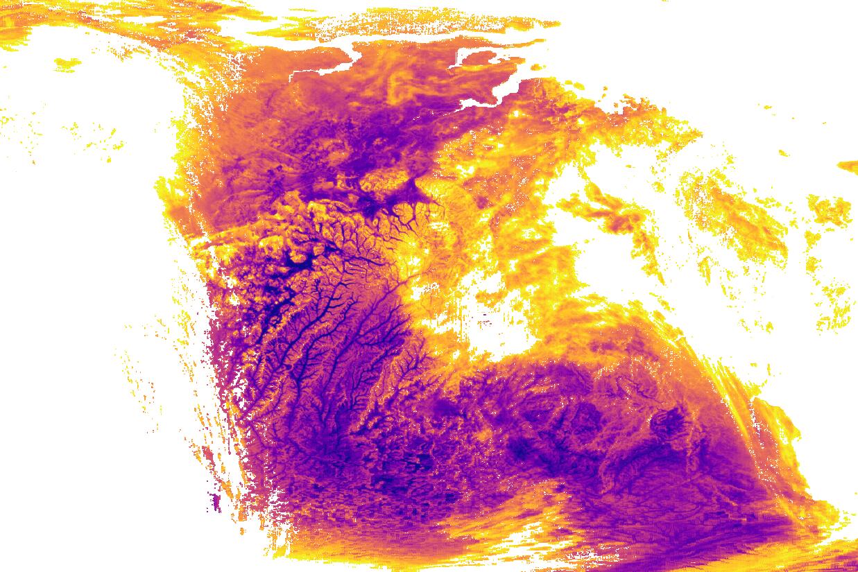
Visualizing Raster Data
As you may know, GeoTIFF images are a very common file format when dealing with geospatial raster data. Due to its versatility, it is used storing satellite data, as an intermediary file format in ...
Insights, updates, and deep dives from our geospatial experts.
Let's build cloud-native systems, interactive maps, or customized Sentinel data layers together. Reach out to discuss your project requirements.
Contact us