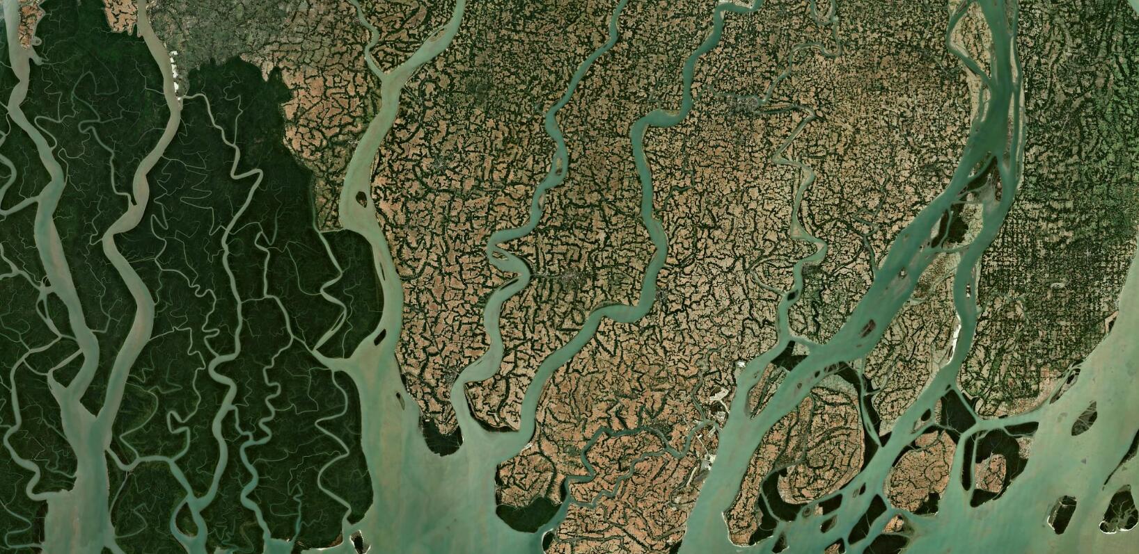
Sentinel-2 Cloudless 2023
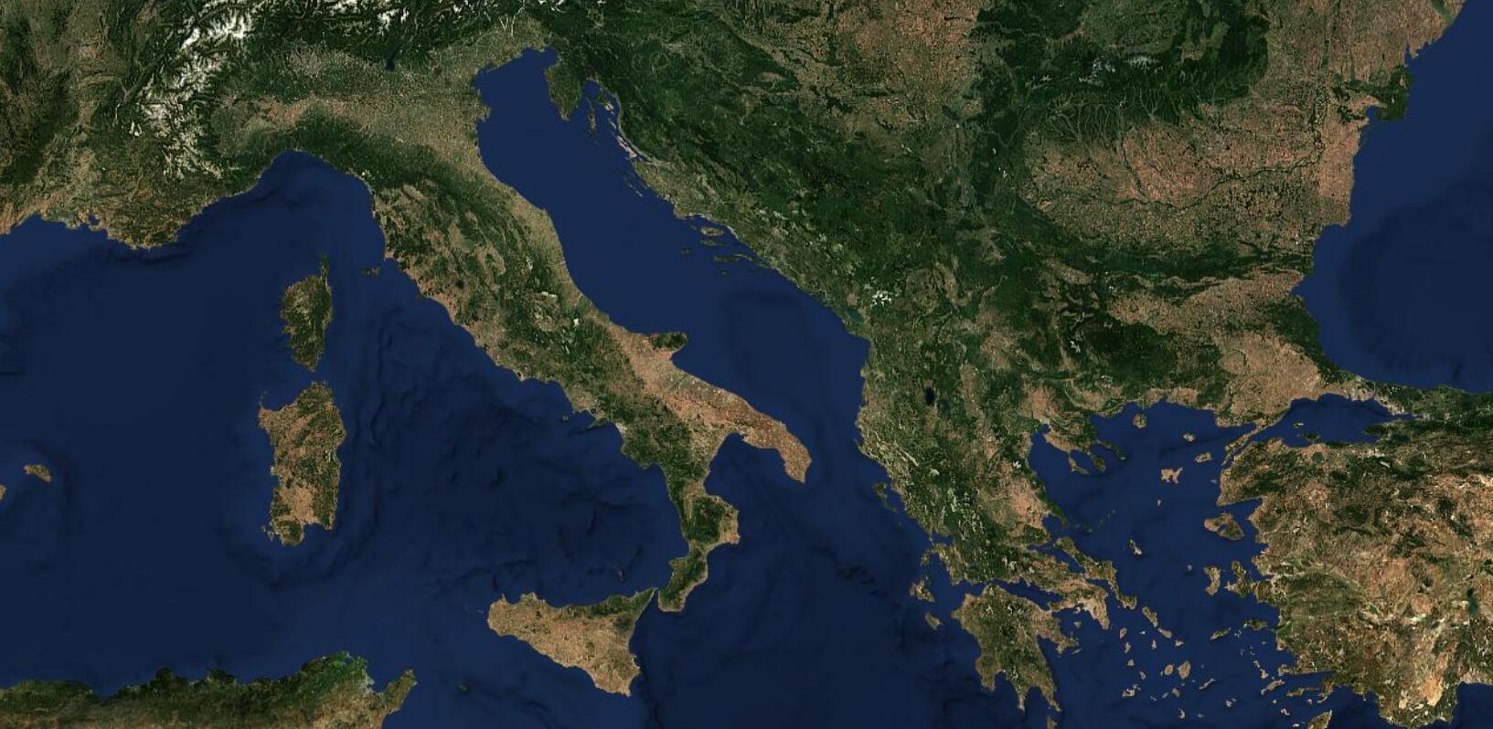
We are thrilled to announce the latest release of EOxCloudless 2023 imagery. Whether you are an existing customer or new to EOxCloudless, this latest update offers clarity with beautiful sceneries and is designed to meet the needs of our users in a convenient way.
With the everchanging and more challenging accessibility of satellite data, like the recent large digital infrastructure project Copernicus Dataspace Ecosystem (opens new window), which provides centralized access to Copernicus (opens new window) datasets, we at EOX aggregate the huge volume of data into a value added product in a form of our satellite maps to make it easier for our customers to get hands on satellite imagery. For several years now, we offer an unchanged way of reaching our data for non-commercial use via maps.eox.at (opens new window) or for commercial use via the cloudless.eox.at (opens new window). This includes off-the shelf datasets and WMTS endpoint as well as offering custom solutions for various applications, being it simply more colorful satellite basemaps or use case tailored products for agriculture, environmental monitoring, aviation simulation, security, etc.
To take a look at the latest annual mosaic of our planet Earth derived from the Sentinel-2 data head to s2maps.eu (opens new window)!
# Why Update or Purchase EOxCloudless 2023?
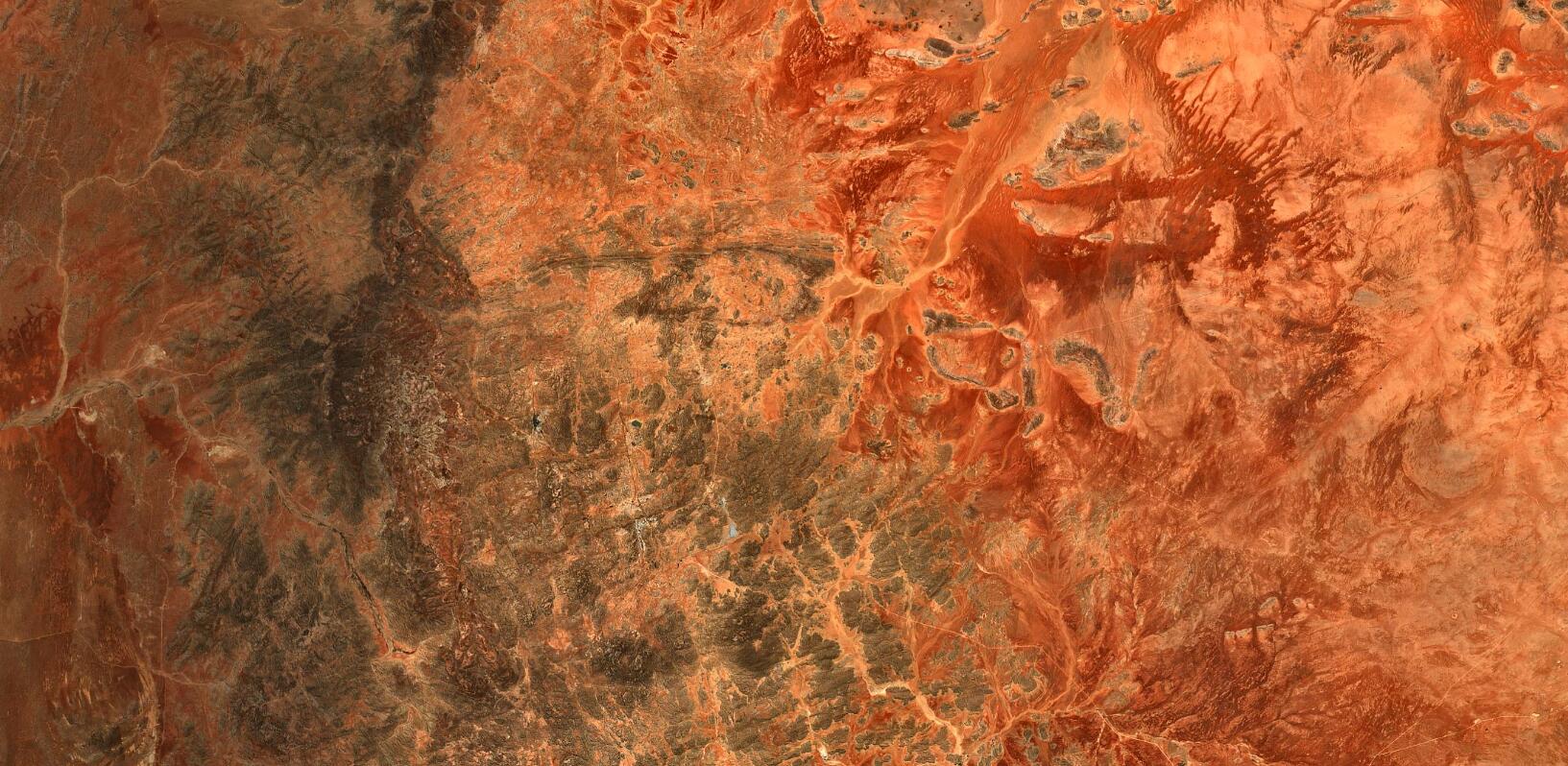
Our most recent datasets show our dedication to providing quality satellite images. Here are some key reasons why you should consider updating your existing satellite map or buying EOxCloudless for the first time:
- Enhanced Color Correction One of the standout features is the improved color correction. We have refined our processing algorithms to produce more natural and vibrant colors, making the imagery more visually appealing for scientific and practical applications.
- Clarity and Detail The quality of this release is consistent with improvements, which can be seen at first glance. Whether your focus lies in any scientific or industrial geospatial, remote sensing or any other field that relies on satellite data, this will significantly improve your analysis and decision-making processes.
- Comprehensive Global Coverage The dataset provides complete global coverage, ensuring you have access to dependable imagery no matter where your area of interest lies. From remote wilderness areas to bustling cityscapes we have the solution for you to provide extended and sustainable monitoring across the globe.
- Reduced Cloud Coverage As the name suggests, EOxCloudless is renowned for its minimal cloud coverage. Our latest release continues this tradition, utilizing advanced cloud removal techniques to provide clear, unobstructed views of the Earth’s surface. This is particularly beneficial for users in regions frequently affected by cloud cover.
# Enhanced Color Correction - What is Different?
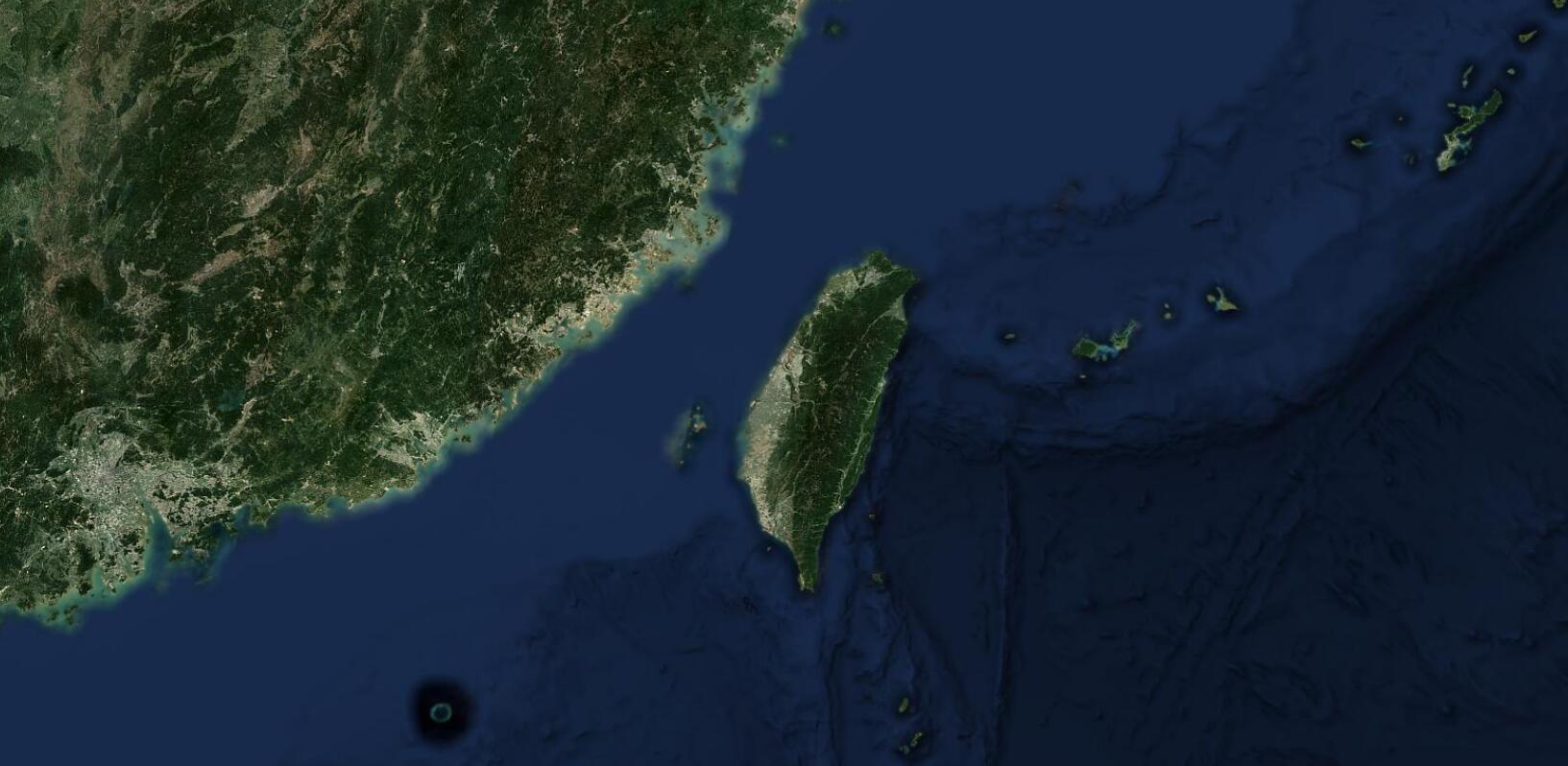
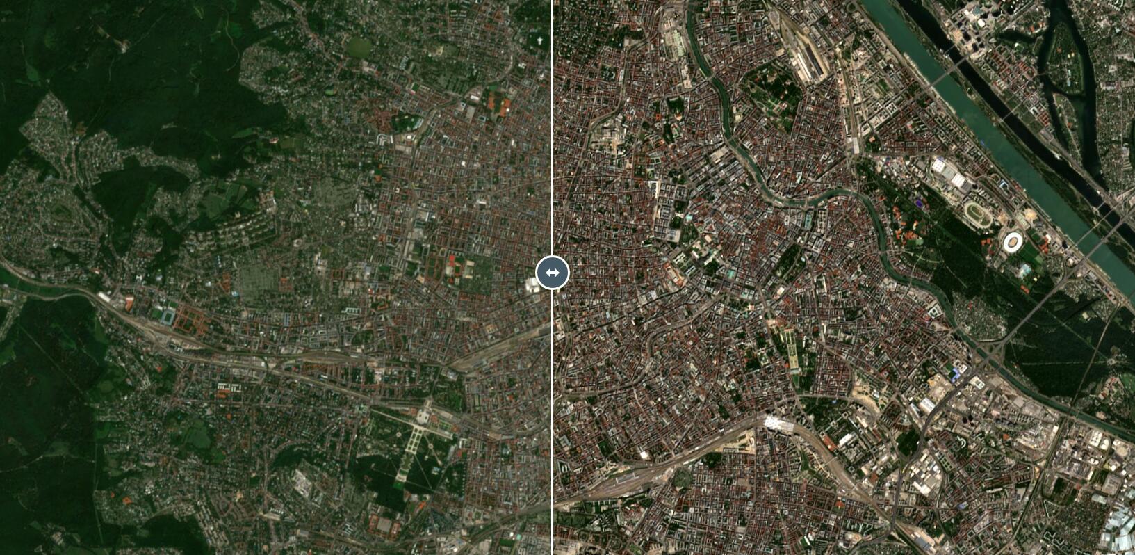
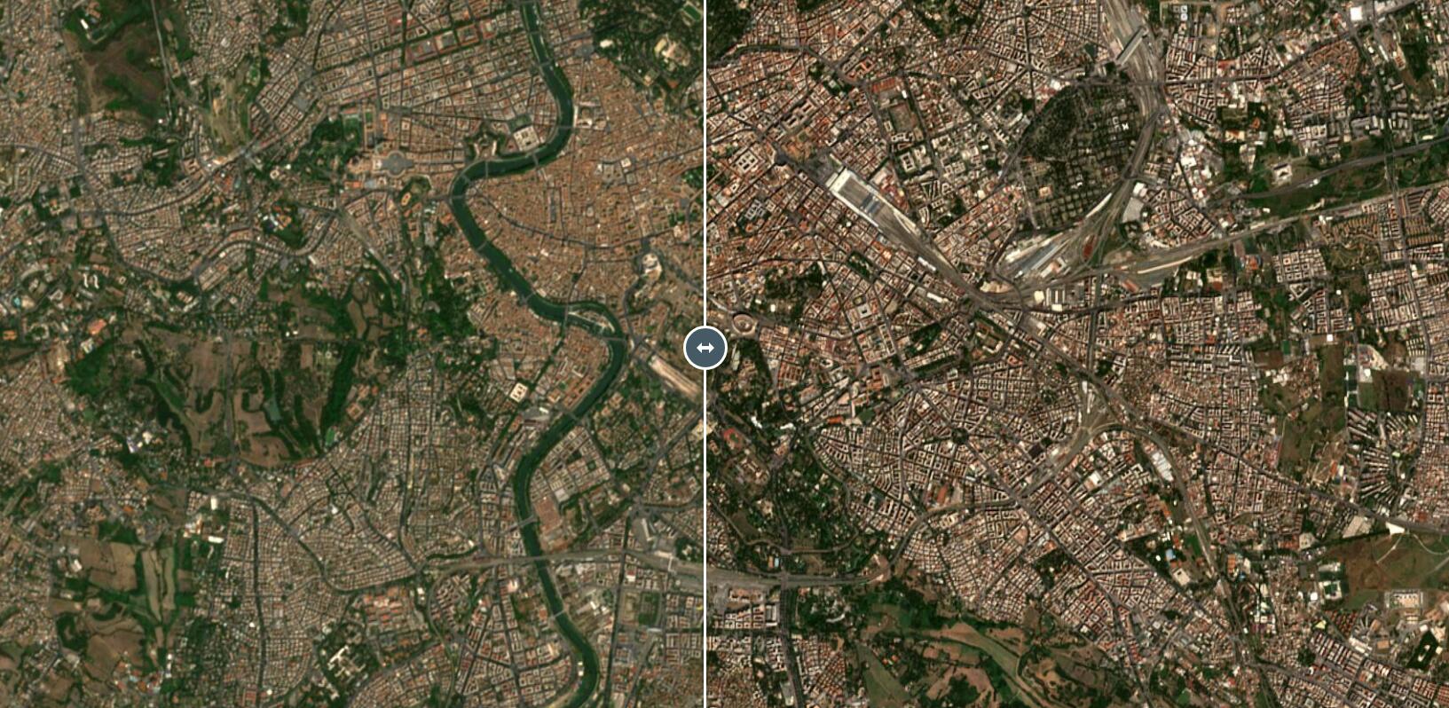
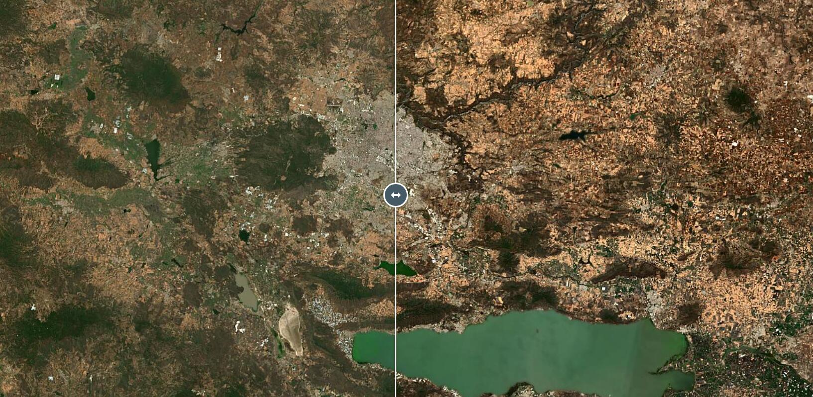
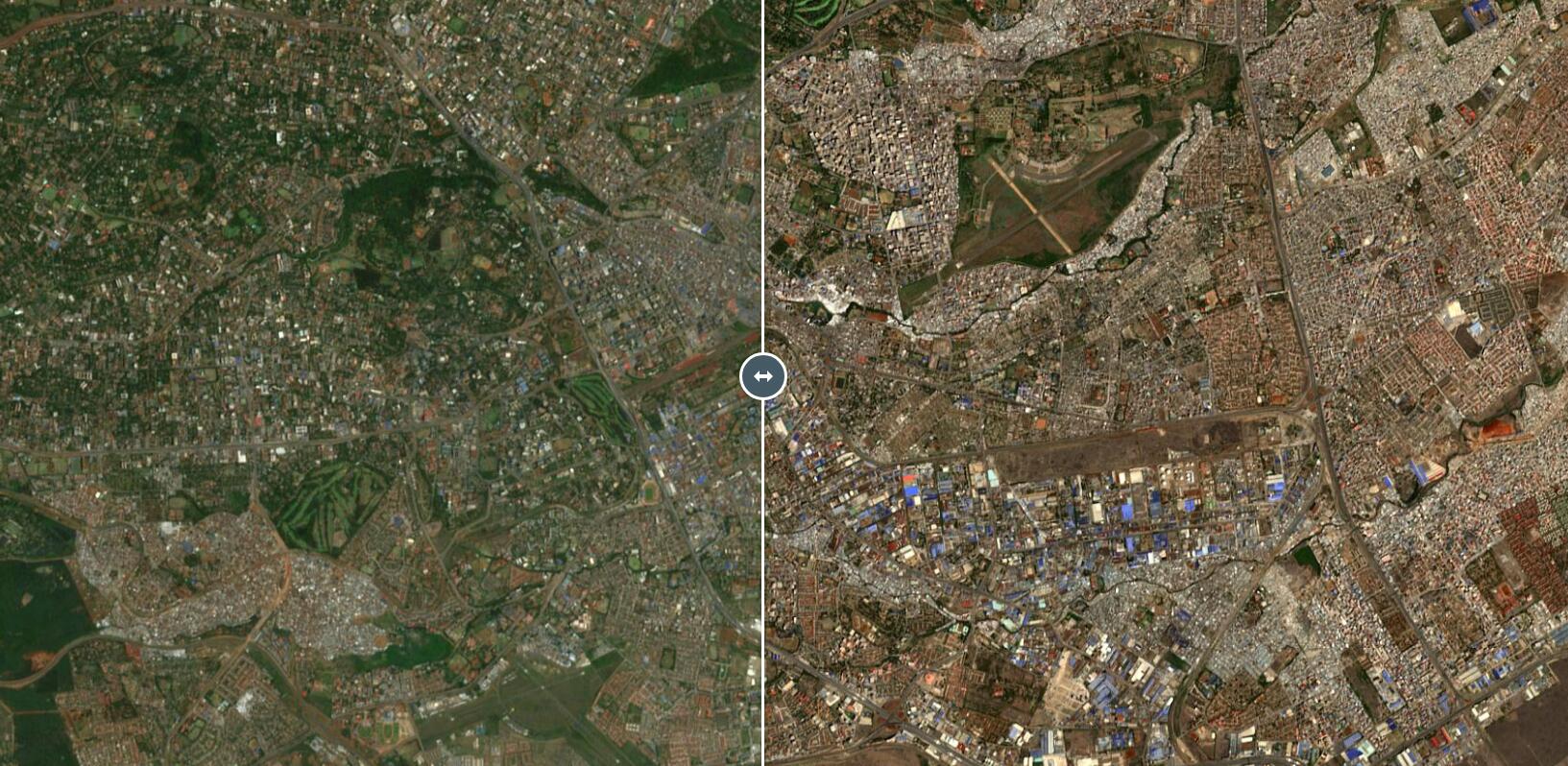
Do some parts of our map from s2maps.eu (opens new window) look different than the 2022 version? Let's take a quick look behind the curtain to see what has been done differently this time.
The core change was introducing so called contrast limited adaptive histogram equalization (CLAHE) to our post-processing color correction of the mosaic data. These histogram equalization methods had been around in image processing for a some time based on following papers: Contrast-Limited Adaptive Histogram Equalization: Speed and Effectiveness; Pizer, S. M., Johnston, R. E., Ericksen, J. P., Yankaskas, B. C., & Muller, K. E. (n.d.); (1990) (opens new window) and Effectiveness of Contrast Limited Adaptive Histogram Equalization Technique on Multispectral Satellite Imagery; Vidhya, G. R., & Ramesh, H.; (2017) (opens new window).
The implementation of these methods can be found in modern image handling software packages like OpenCV: cv2.createCLAHE() (opens new window) and scikit-image: exposure.equalize_adapthist() (opens new window). We have taken the OpenCV solution for the 2023 color correction and combined with the other post-processing steps we did in the past, with this approach significant change in sharpness especially in urban areas was achieved, making the viewing experience more "crispy".
This rather small change to our data refining chain, has made more impact than we initially expected and it will be included in our future data generation where applicable. With the BRDF and CLAHE additions over the years, our satellite maps are gradually achieving more satisfying results. These tools and improvements allow us to overcome major obstacles old and new, when dealing with big data from space.
# How to Update or Purchase EOxCloudless 2023?
If you are considering satellite imagery, then getting started with EOxCloudless is simple.
Our offer is suited for different needs and budgets, ensuring you can find the right solution for your specific requirements and even be flexible with our custom solutions. You can purchase our products directly via cloudless.eox.at (opens new window) by clicking buy now button. Additionally, we provide detailed documentation and samples to help you get started for free and to make sure our delivery formats are suitable for your use case.
We are here to help you make the most out of your application with our data! Feel free to reach out to us if you need any further assistance or have specific requirements via: cloudless@eox.at.
# Looking Ahead of the Curve
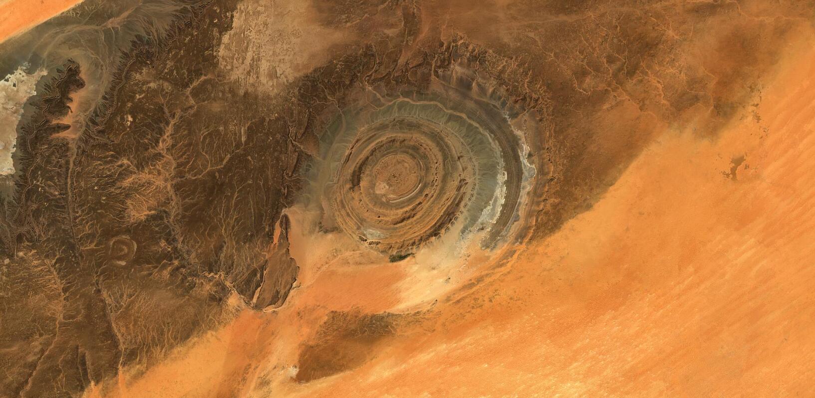
The work on the 2024 release has already begun and will have even more shiny improvements as well as updated processing chain and data storage infrastructure to provide even better EOxCloudless experience for our customers.
Reaching forward and outwards, we would hereby like to invite you to join us at the space events happening around the globe:
- Intergeo (opens new window) 24 - 26th of September 2024 in Stuttgart, Germany
- Living Planet Symposium 2025 (opens new window) 23 - 27th of June 2025 in our beautiful hometown Vienna, Austria
Look for the EOX staff at these event and don't miss out on this opportunity to chat with us and inquire about what EOX can offer you.
# Want to Play a Game?
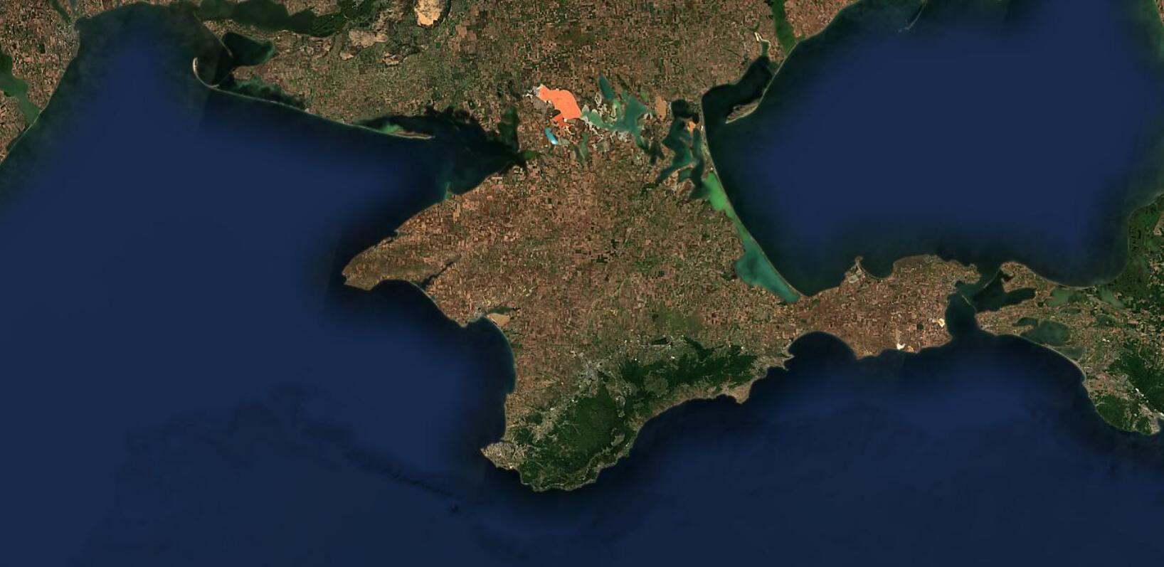
EO-Guesser is here! Are a fan of satellite imagery or the world from space? We are running a neat game and at EOX we have been playing it with great enthusiasm for some time now.
If you want to try your luck or want to put your Earth Observation knowledge to test feel free to try our EO-Guesser (opens new window). Being zoomed in on a random place on Earth just able to see the satellite map, can you guess where you are? How conversant are you with planet earth? Enjoy the game!
Finally, if you are looking for a nice screensaver to watch while on a coffee break click the "Tour" button at the bottom left of https://s2maps.eu (opens new window) and enjoy the ride.

# License
The 2016 version is provided for free under the Creative Commons Attribution 4.0 International Public License (opens new window) (CC BY 4.0), the 2018 - 2023 versions under Creative Commons Attribution-NonCommercial-ShareAlike 4.0 International Public License (opens new window) (CC BY-NS-SA 4.0).
The required attribution is
- 2016: "Sentinel-2 cloudless - https://s2maps.eu (opens new window) by EOX IT Services GmbH (opens new window) (Contains modified Copernicus Sentinel data 2016 & 2017)"
- 2018: "Sentinel-2 cloudless - https://s2maps.eu (opens new window) by EOX IT Services GmbH (opens new window) (Contains modified Copernicus Sentinel data 2017 & 2018)"
- 2019: "Sentinel-2 cloudless - https://s2maps.eu (opens new window) by EOX IT Services GmbH (opens new window) (Contains modified Copernicus Sentinel data 2019)"
- 2020: "Sentinel-2 cloudless - https://s2maps.eu (opens new window) by EOX IT Services GmbH (opens new window) (Contains modified Copernicus Sentinel data 2020)"
- 2021: "Sentinel-2 cloudless - https://s2maps.eu (opens new window) by EOX IT Services GmbH (opens new window) (Contains modified Copernicus Sentinel data 2021)"
- 2022: "Sentinel-2 cloudless - https://s2maps.eu (opens new window) by EOX IT Services GmbH (opens new window) (Contains modified Copernicus Sentinel data 2022)"
- 2023: "Sentinel-2 cloudless - https://s2maps.eu (opens new window) by EOX IT Services GmbH (opens new window) (Contains modified Copernicus Sentinel data 2023)"
It shall include the links as given here in on-line usage.
For commercial usage we offer the data (opens new window) under the EOX Commercial Attribution-RestrictedUse 1.1 License (opens new window) which is based on CC BY. The main change over CC BY is that EOX reserves the right to provide the data with this license. You're entirely free to use it in your services and products, you just can't transfer this license to your users. Usage examples include a WMTS you provide under your name or a product you sell that bundles the data for offline usage.
The EOX WMTS (opens new window) and EOX WMS (opens new window) are free and open to use for non-commercial applications given that when publishing the corresponding attribution (opens new window) is provided in the publication.
Miriam Mabeya, EOX IT Services GmbH Email: miriam.mabeya@eox.at
Petr Ševčík, EOX IT Services GmbH Email: petr.sevcik@eox.at
Joachim Ungar, EOX IT Services GmbH Email: joachim.ungar@eox.at
Contains Modified Copernicus Sentinel-2 Data 2016-2023.